Pacific Rim map and support for “wrapped” longitudes
Note: amCharts 4 supports straight out of the box. Check out this demo to find out how to use it.
This has been long coming and it’s finally here. Since JavaScript Maps 3.10.1 we now fully support maps with “wrapped” longitudes which allows creating fully featured maps with longitudes spanning beyond the -180/180 line.
Such as this map included in the updated Premium Map Pack: (available for purchase as an add-on to JavaScript Maps)
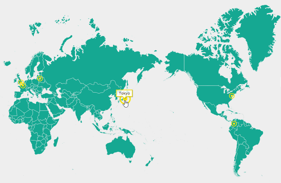
This map fully supports placing markers using latitude/longitude coordinates.
So make sure you grab the latest version of JavaScript Maps as well as your updated copy of Premium Map Pack from Support Area.
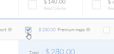
Or, if you don’t have Premium Map Pack yet, you can acquire one directly in our Online Store. (select “Premium maps” checkbox)