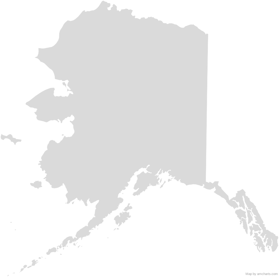
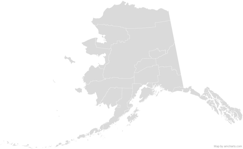
Alaska Boroughs SVG Map
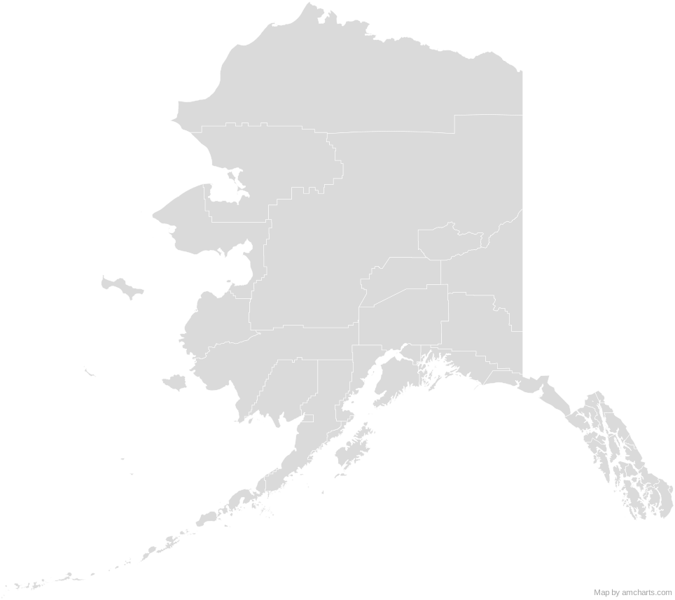
Free Alaska Boroughs SVG map with 29 areas, in Albers USA and Mercator projections, high and low detail.
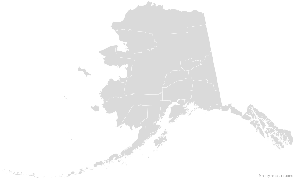
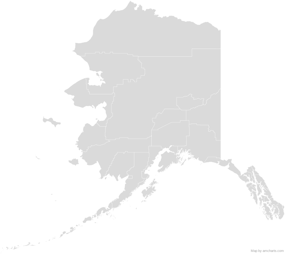
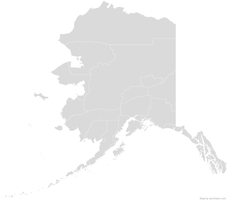
Free for any use, commercial projects included, as long as you keep the amCharts credit (CC BY 4.0).
All 427 maps, no credit needed: $99 Every SVG map in one ZIP, royalty-free, with updates.29 regions, named and coded.
- Aleutians East
02013 - Aleutians West
02016 - Anchorage
02020 - Bethel
02050 - Bristol Bay
02060 - Denali
02068 - Dillingham
02070 - Fairbanks North Star
02090 - Haines
02100 - Hoonah-Angoon
02105 - Juneau
02110 - Kenai Peninsula
02122 - Ketchikan Gateway
02130 - Kodiak Island
02150 - Kusilvak
02158 - Lake and Peninsula
02164 - Matanuska-Susitna
02170 - Nome
02180 - North Slope
02185 - Northwest Arctic
02188 - Petersburg
02195 - Prince of Wales-Hyder
02198 - Sitka
02220 - Skagway
02230 - Southeast Fairbanks
02240 - Valdez-Cordova
02261 - Wrangell
02275 - Yakutat
02282 - Yukon-Koyukuk
02290
No region matches that.
Need it interactive in your app?
The same map ships with the amCharts 5 library as am5geodata_region_usa_akLow, ready for zoom, tooltips, heat maps and drill-downs. See JavaScript Maps.
import am5geodata from "@amcharts/amcharts5-geodata/region/usa/akLow";

const chart = root.container.children.push(
  am5map.MapChart.new(root, {
    projection: am5map.geoAlbersUsa()
  })
);

chart.series.push(
  am5map.MapPolygonSeries.new(root, {
    geoJSON: am5geodata
  })
);
import am5geodata from "@amcharts/amcharts5-geodata/region/usa/akLow";
chart.series.push(
am5map.MapPolygonSeries.new(root, {
geoJSON: am5geodata
})
);Around Alaska Boroughs
Can I use this map commercially?
Yes, for free, as long as you keep the amCharts credit (CC BY 4.0). To use maps without the credit, get the SVG Maps pack: all 427 maps for $99, one payment.
Which projection is it in?
Albers USA or Mercator: switch between them with the Projection buttons. Albers USA is the usual map of the US: the lower 48 states in an equal-area conic projection, with Alaska scaled down and Hawaii moved below them. For Equal Earth, orthographic and others, use the SVG Map Generator.
How are the regions identified?
Each region is its own <path> with an id (the ISO code where one exists) and a data-name, so you can style or script it directly.
Will it open in Figma, Illustrator or Inkscape?
Yes. It is plain SVG: no scripts, fonts or external references.