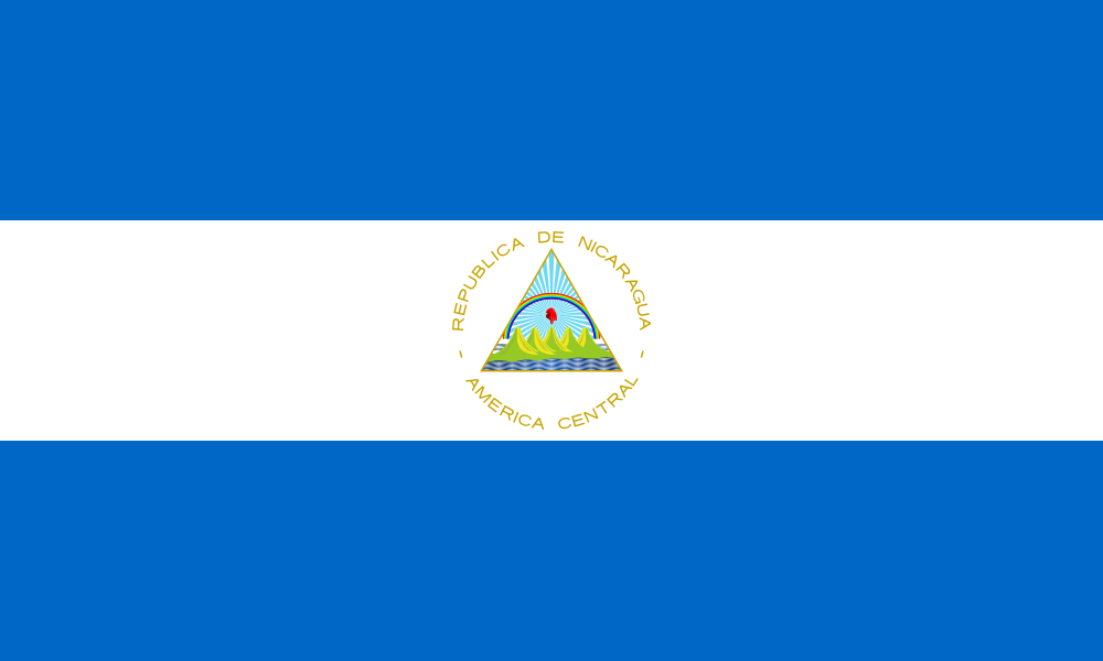
 Nicaragua SVG Map
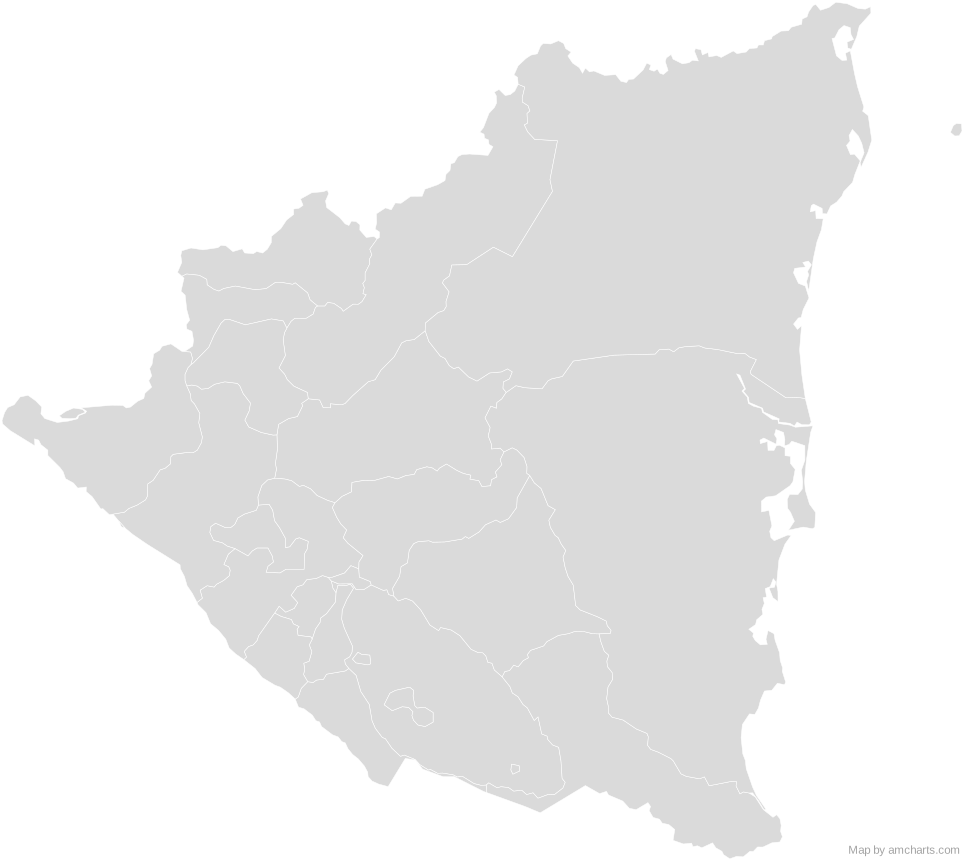
Free Nicaragua SVG map with 19 administrative areas, in Mercator projection, high and low detail.
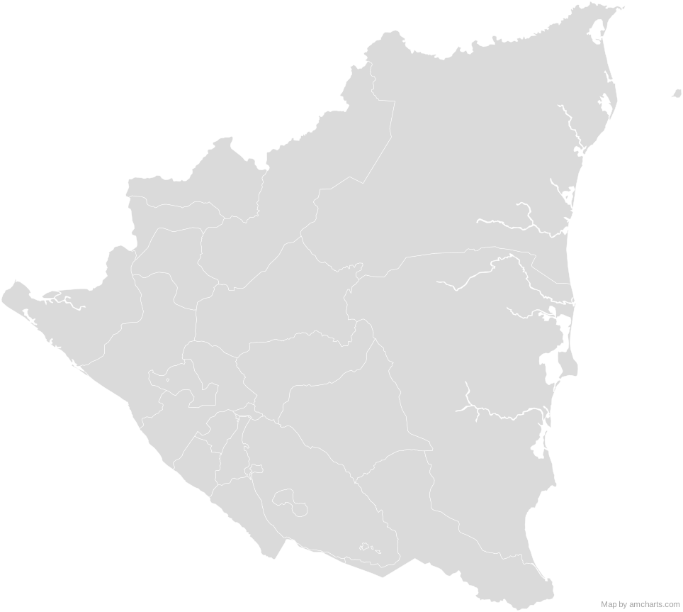
Free for any use, commercial projects included, as long as you keep the amCharts credit (CC BY 4.0).
All 427 maps, no credit needed: $99 Every SVG map in one ZIP, royalty-free, with updates.19 regions, named and coded.
- Boaco
NI-BO - Carazo
NI-CA - Chinandega
NI-CI - Chontales
NI-CO - Costa Caribe Norte
NI-AN - Costa Caribe Sur
NI-AS - Estelí
NI-ES - Granada
NI-GR - Jinotega
NI-JI - Lago de Managua
NI-LKM - Lago de Nicaragua
NI-LKN - León
NI-LE - Madriz
NI-MD - Managua
NI-MN - Masaya
NI-MS - Matagalpa
NI-MT - Nueva Segovia
NI-NS - Río San Juan
NI-SJ - Rivas
NI-RI
No region matches that.
Need it interactive in your app?
The same map ships with the amCharts 5 library as am5geodata_nicaraguaLow, ready for zoom, tooltips, heat maps and drill-downs. See JavaScript Maps.
import am5geodata from "@amcharts/amcharts5-geodata/nicaraguaLow";

chart.series.push(
  am5map.MapPolygonSeries.new(root, {
    geoJSON: am5geodata
  })
);
Can I use this map commercially?
Yes, for free, as long as you keep the amCharts credit (CC BY 4.0). To use maps without the credit, get the SVG Maps pack: all 427 maps for $99, one payment.
Which projection is it in?
Mercator, fitted to the map's own bounds. For Equal Earth, Albers, orthographic and others, use the SVG Map Generator.
How are the regions identified?
Each region is its own <path> with an id (the ISO code where one exists) and a data-name, so you can style or script it directly.
Will it open in Figma, Illustrator or Inkscape?
Yes. It is plain SVG: no scripts, fonts or external references.