USA SVG Map
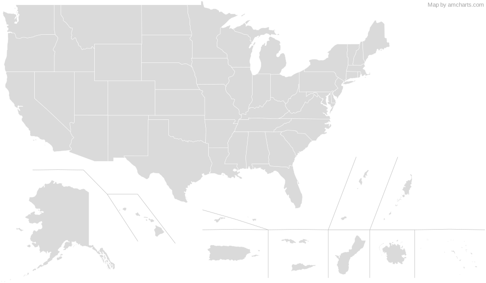
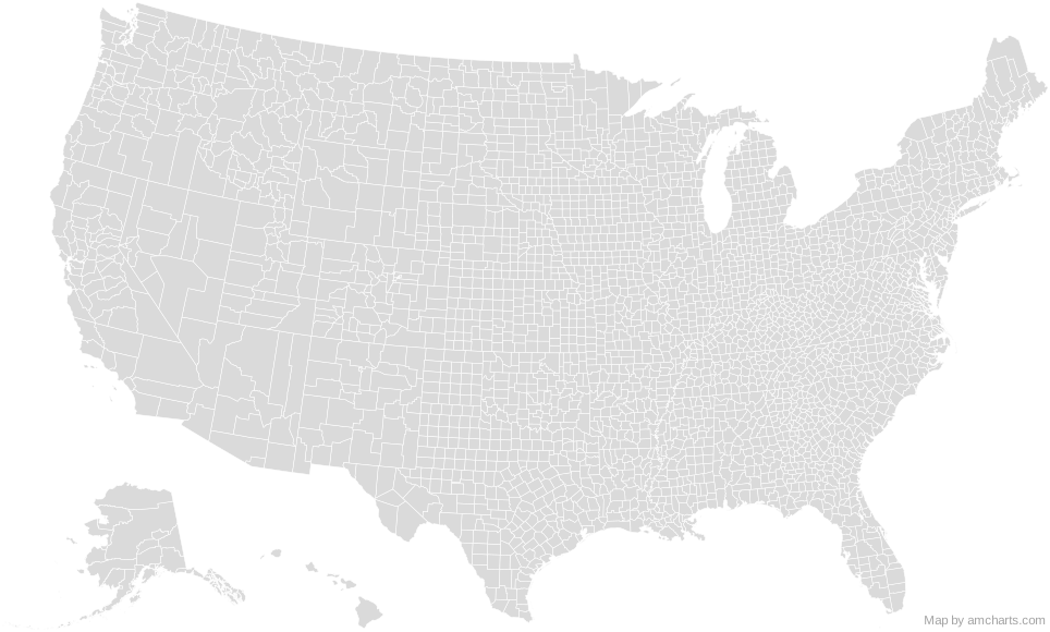
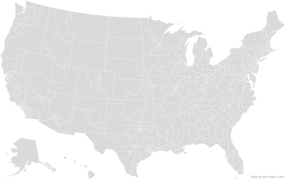
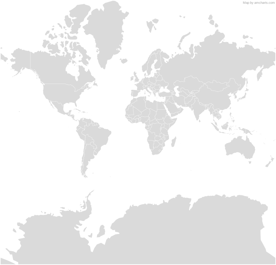
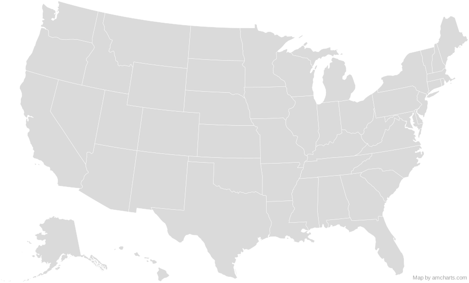
Free USA SVG map with 51 areas, in Albers USA and Mercator projections, high and low detail.
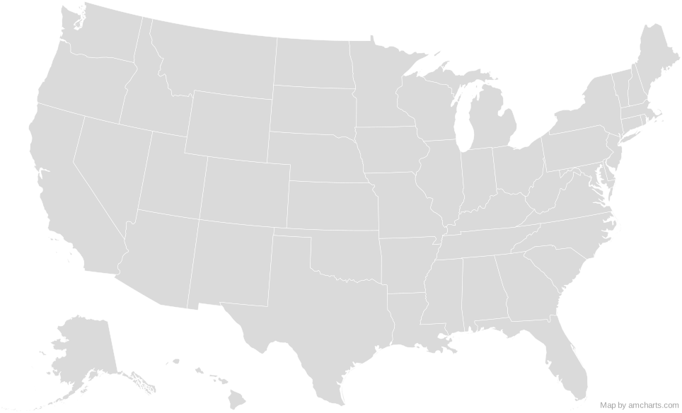
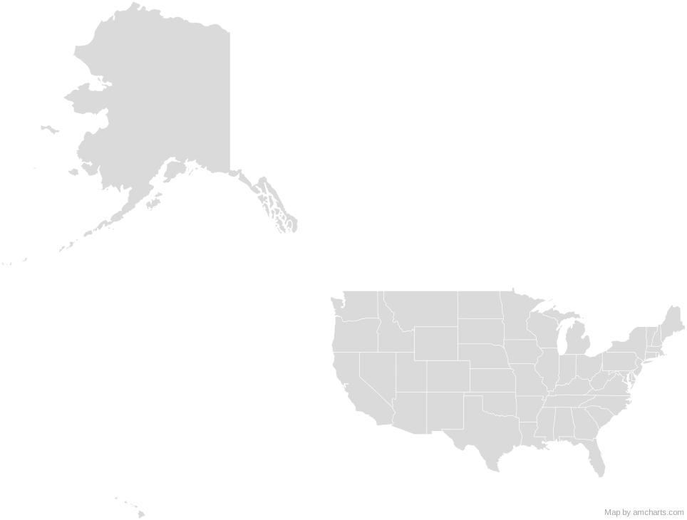
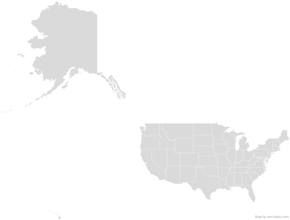
Free for any use, commercial projects included, as long as you keep the amCharts credit (CC BY 4.0).
All 427 maps, no credit needed: $99 Every SVG map in one ZIP, royalty-free, with updates.51 regions, named and coded.
- Alabama
US-AL - Alaska
US-AK - Arizona
US-AZ - Arkansas
US-AR - California
US-CA - Colorado
US-CO - Connecticut
US-CT - Delaware
US-DE - District of Columbia
US-DC - Florida
US-FL - Georgia
US-GA - Hawaii
US-HI - Idaho
US-ID - Illinois
US-IL - Indiana
US-IN - Iowa
US-IA - Kansas
US-KS - Kentucky
US-KY - Louisiana
US-LA - Maine
US-ME - Maryland
US-MD - Massachusetts
US-MA - Michigan
US-MI - Minnesota
US-MN - Mississippi
US-MS - Missouri
US-MO - Montana
US-MT - Nebraska
US-NE - Nevada
US-NV - New Hampshire
US-NH - New Jersey
US-NJ - New Mexico
US-NM - New York
US-NY - North Carolina
US-NC - North Dakota
US-ND - Ohio
US-OH - Oklahoma
US-OK - Oregon
US-OR - Pennsylvania
US-PA - Rhode Island
US-RI - South Carolina
US-SC - South Dakota
US-SD - Tennessee
US-TN - Texas
US-TX - Utah
US-UT - Vermont
US-VT - Virginia
US-VA - Washington
US-WA - West Virginia
US-WV - Wisconsin
US-WI - Wyoming
US-WY
No region matches that.
Need it interactive in your app?
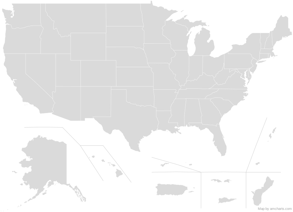
The same map ships with the amCharts 5 library as am5geodata_usaLow, ready for zoom, tooltips, heat maps and drill-downs. See JavaScript Maps.
import am5geodata from "@amcharts/amcharts5-geodata/usaLow";

const chart = root.container.children.push(
  am5map.MapChart.new(root, {
    projection: am5map.geoAlbersUsa()
  })
);

chart.series.push(
  am5map.MapPolygonSeries.new(root, {
    geoJSON: am5geodata
  })
);
import am5geodata from "@amcharts/amcharts5-geodata/usaLow";
chart.series.push(
am5map.MapPolygonSeries.new(root, {
geoJSON: am5geodata
})
);
Can I use this map commercially?
Yes, for free, as long as you keep the amCharts credit (CC BY 4.0). To use maps without the credit, get the SVG Maps pack: all 427 maps for $99, one payment.
Which projection is it in?
Albers USA or Mercator: switch between them with the Projection buttons. Albers USA is the usual map of the US: the lower 48 states in an equal-area conic projection, with Alaska scaled down and Hawaii moved below them. For Equal Earth, orthographic and others, use the SVG Map Generator.
How are the regions identified?
Each region is its own <path> with an id (the ISO code where one exists) and a data-name, so you can style or script it directly.
Will it open in Figma, Illustrator or Inkscape?
Yes. It is plain SVG: no scripts, fonts or external references.