Free SVG Maps

Welcome to our SVG map directory! Use the list below to select a map you need. All maps come in two level of details: High and Low.

All maps are available for free for non-commercial use under Creative Commons Attribution-NonCommercial 4.0 International License. For commercial use please consider acquiring an amCharts license.

Looking for more control? The maps on this page are static downloads. If you need a specific region, a different projection, or simplified geometry — try our SVG Map Generator. Pick any map, any projection, fine-tune the detail level, and export exactly the SVG you need.

Back to all maps

USA

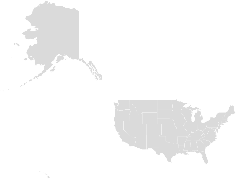
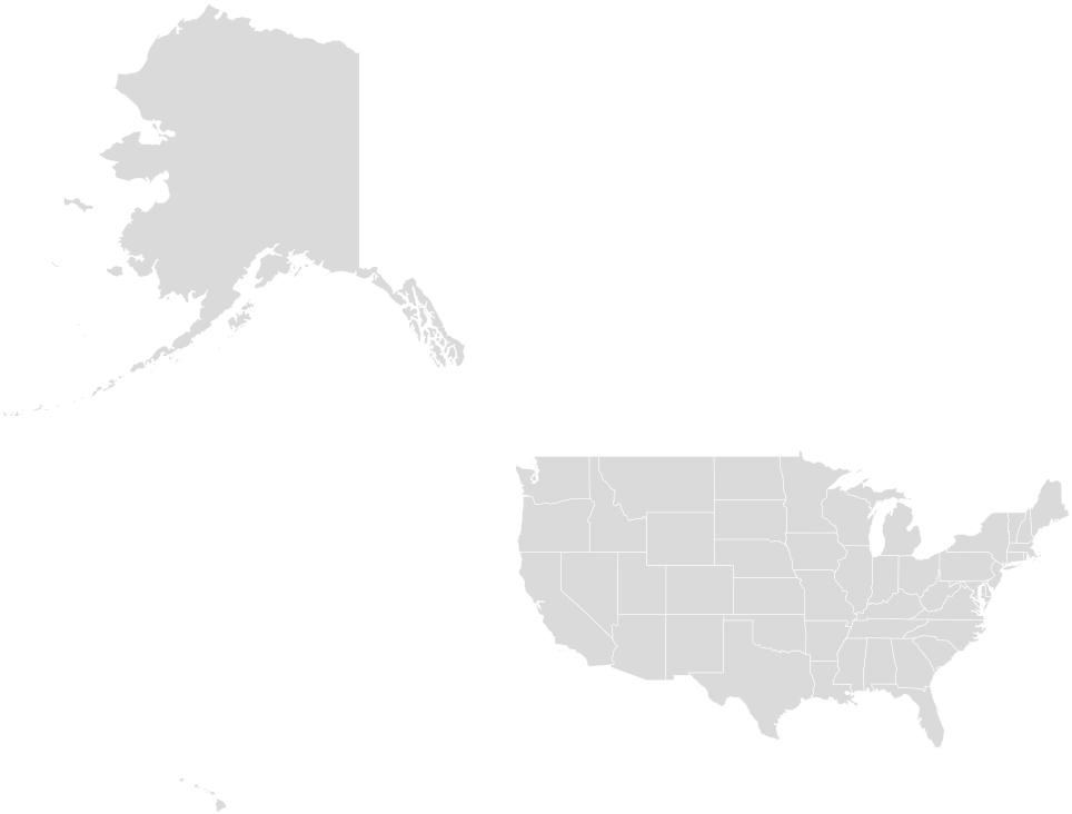
USA SVG map with 51 areas (50 states and 1 federal district): Alabama, Alaska, Arizona, Arkansas, California, Colorado, Connecticut, Delaware, District of Columbia, Florida, Georgia, Hawaii, Idaho, Illinois, Indiana, Iowa, Kansas, Kentucky, Louisiana, Maine, Maryland, Massachusetts, Michigan, Minnesota, Mississippi and 26 more. Each area is a <path> with its ISO 3166-2 code as id (US-AL) and its name in data-name.