Localized country names and US congressional districts in the latest amCharts 4 release
The just-released version 4.7.4 of amCharts includes some great improvements to the map chart experience.
Country name translations
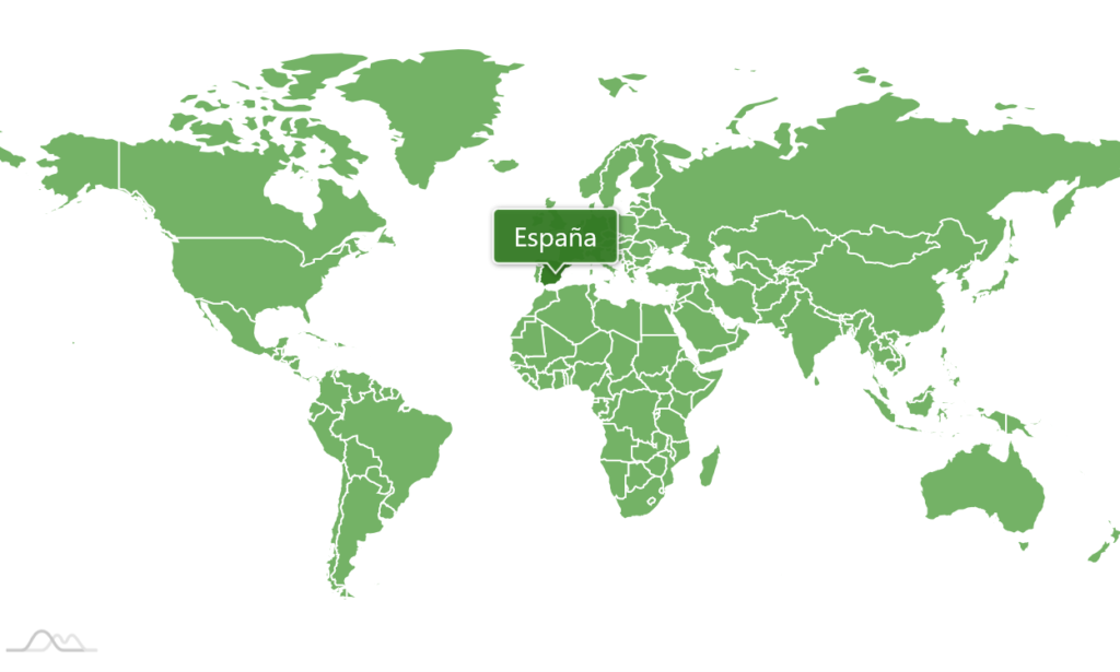
Now it’s easier than ever to localize country names shown on the map along with the rest of your application. Just make sure that you have amCharts 4.7.4 or newer and amCharts 4 Geodata v.4.1.8 or newer, and follow the steps in the documentation to switch the language of the country names.
US congressional district maps
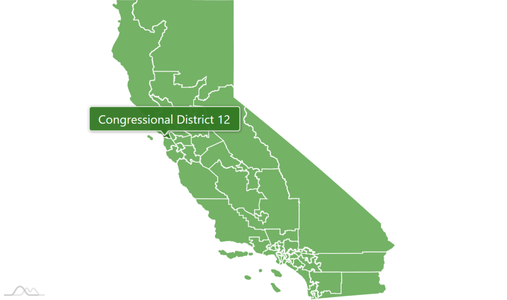
Another great addition to mapping in amCharts are congressional district maps for the United States. They are included with amCharts 4 Geodata starting from version 4.1.8. Using them is as straightforward as with any other amCharts maps. Head over to this tutorial to find all the details.
As usual, you can get the latest version of amCharts in your preferred way through our downloads page.