Congressional District Maps for 120th Congress Now Available
U.S. will elects the new (120th) Congress in 2027. There are currently a number of redistricting efforts going on, which puts us — maps users and makers — in a tight spot. But, politics aside, data still needs to be shown.
We have collected the most recent changes that are finalized or mostly what you could call a “done deal”, and packaged into version 5.1.6 of amCharts 5: Maps geodata pack, which contains both country-wide and individual states maps.
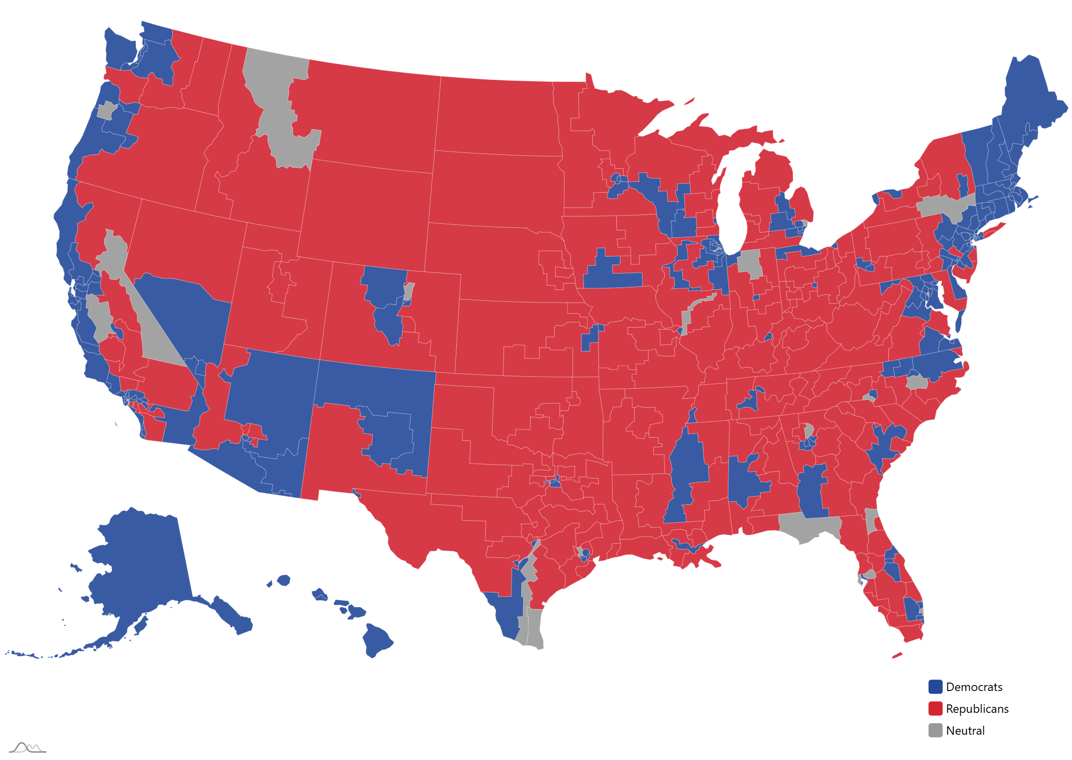
Which state maps are updated?
- AL — Alabama
- CA — California
- FL — Florida
- NC — North Carolina
- OH — Ohio
- TX — Texas
- TN — Tennessee
- UT — Utah
What’s still pending?
- MO — Missouri
- LA — Louisiana
Where to get the new pack?
Visit our Downloads page for a set of download options, including NPM and GitHub, ZIP download and CDN.
What is amCharts 5: Maps?
It’s our ultra-flexible and advanced interactive mapping library for web, desktop and mobile apps.
Find out amCharts 5: Maps product page.